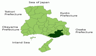
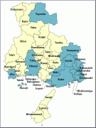
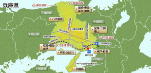
Hyōgo Prefecture (Hyōgo)
 |
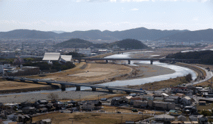
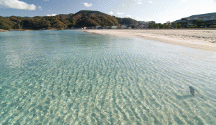
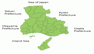
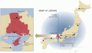
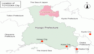
Kōbe is the capital and largest city of Hyōgo Prefecture, and the seventh-largest city in Japan, with other major cities including Himeji, Nishinomiya, and Amagasaki. Hyōgo Prefecture's mainland stretches from the Sea of Japan to the Seto Inland Sea, where Awaji Island and a small archipelago of islands belonging to the prefecture are located. Hyōgo Prefecture is a major economic center, transportation hub, and tourist destination in western Japan, with 20% of the prefecture's land area designated as Natural Parks. Hyōgo Prefecture forms part of the Keihanshin metropolitan area, the second-most-populated urban region in Japan after the Greater Tokyo area and one of the world's most productive regions by GDP.
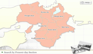
Present-day Hyōgo Prefecture includes the former provinces of Harima, Tajima, Awaji, and parts of Tanba and Settsu.
In 1180, near the end of the Heian period, Emperor Antoku, Taira no Kiyomori, and the Imperial court moved briefly to Fukuhara, in what is now the city of Kobe. There the capital remained for five months.
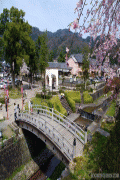
Himeji Castle, a UNESCO World Heritage Site, is in the city of Himeji.
Southern Hyōgo Prefecture was severely devastated by the 6.9 Mw Great Hanshin earthquake of 1995, which destroyed major parts of Kobe and Awaji, as well as Takarazuka and neighboring Osaka Prefecture, killing nearly 6,500 people.
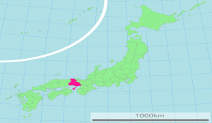
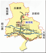
Map - Hyōgo Prefecture (Hyōgo)
Map


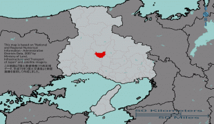

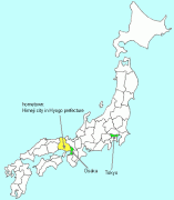
Country - Japan
 |
 |
| Flag of Japan | |
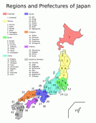
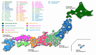
Japan is the eleventh most populous country in the world, as well as one of the most densely populated and urbanized. About three-fourths of the country's terrain is mountainous, concentrating its population of 124.8 million on narrow coastal plains. Japan is divided into 47 administrative prefectures and eight traditional regions. The Greater Tokyo Area is the most populous metropolitan area in the world, with more than 37.2 million residents.
Currency / Language
| ISO | Currency | Symbol | Significant figures |
|---|---|---|---|
| JPY | Japanese yen | ¥ | 0 |
| ISO | Language |
|---|---|
| JA | Japanese language |


